Sinkholes at Rockport State Recreation Area
GPS: 45.202533, -83.384076, take US-23 North, turn right on Rockport Road, the park is at the end of Rockport Rd.
Rockport is Michigan’s 100th State Park and is the first State Park where you are allowed to take a piece of it home with you. There are 13 sinkholes located at Rockport as a result of the Karst topography of the area. One of the sinkholes is over 100 feet deep and filled with water from an underground aquifer. Search for Devonian Era fossils around the sinkholes or in the abandoned 300-acre limestone quarry located on the property. Visitors are allowed to take up to 25 pounds of rock per person from the park per year. While you are here also check out the old deep port harbor, remnants of the former limestone mining operations that sat on the property.
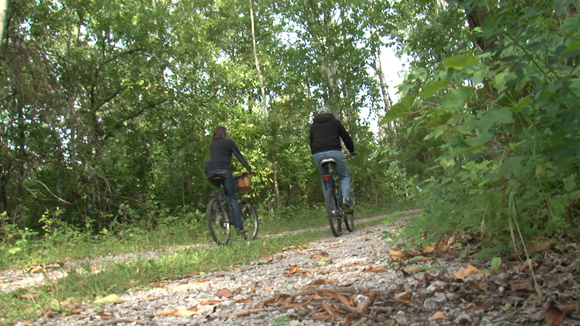
Rugged trails loop throughout the property. Hike, bike, or bring your horse to ride the trails.


 420 N. 2nd Ave. Alpena, MI 49707
 989-340-2288